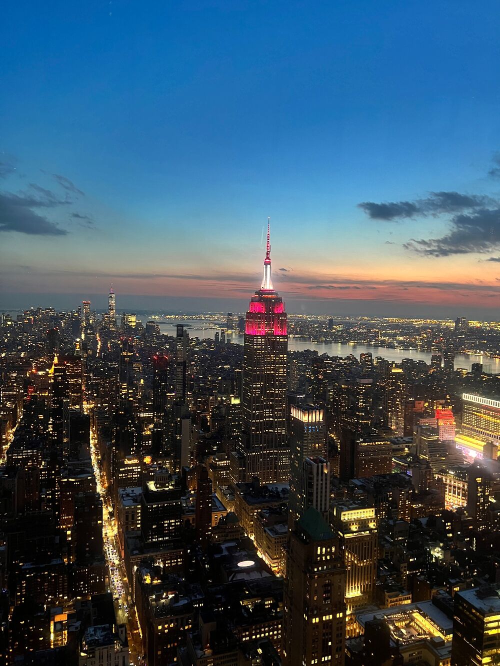
If you have ever been grateful that you can find 34th Street without a map, thank a committee. In 1811, three commissioners presented a plan for laying out Manhattan north of Houston Street, a grid of 12 numbered avenues and 155 cross streets, running up the island for miles through farms and hills that were still mostly empty.
A grid for sale
The plan was practical rather than pretty. Rectangular blocks made land easy to divide, easy to sell and easy to build on. The commissioners reportedly judged that straight-sided houses were the cheapest to construct and the most comfortable to live in. The result was a city that could grow quickly and predictably.
What the plan left out
The 1811 grid had no Central Park. It offered only a few small open spaces. The park came decades later, after the city had grown enough that people could see what a solid wall of blocks would feel like. Central Park was designed by Frederick Law Olmsted and Calvert Vaux, who won a design competition in 1858 with their Greensward plan.
The rebel: Broadway
Broadway is the great exception. It follows an old trail and slices diagonally across the grid, creating the squares we love: Herald Square, Times Square, Union Square and Columbus Circle. Those open triangles and bowties exist because a street refused to be straightened.
A walk to try
Start at Washington Square and walk north on Fifth Avenue. In the Village, the streets tangle in curves and odd angles because they predate the plan. Cross 14th Street and the grid takes over. You can feel the 1811 line under your feet, and it is one of the best free history lessons in the city.